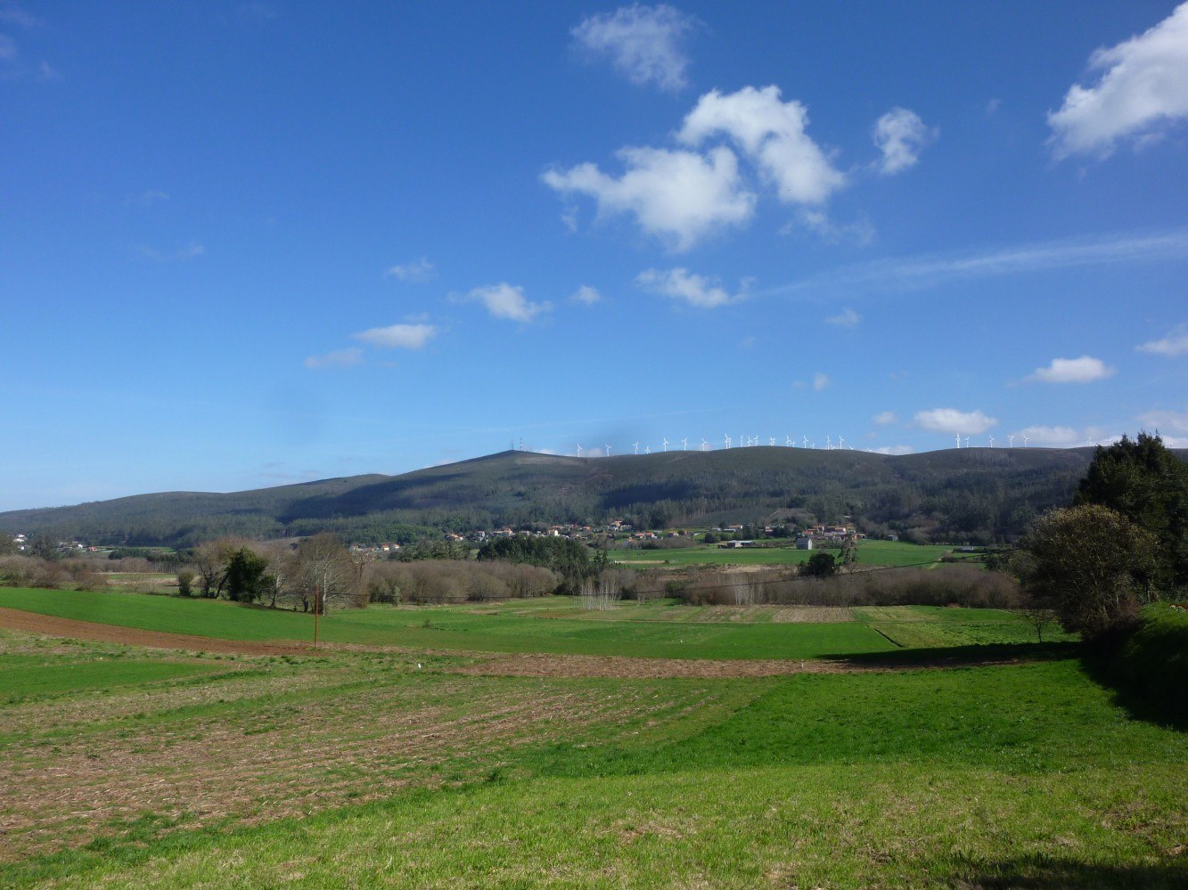
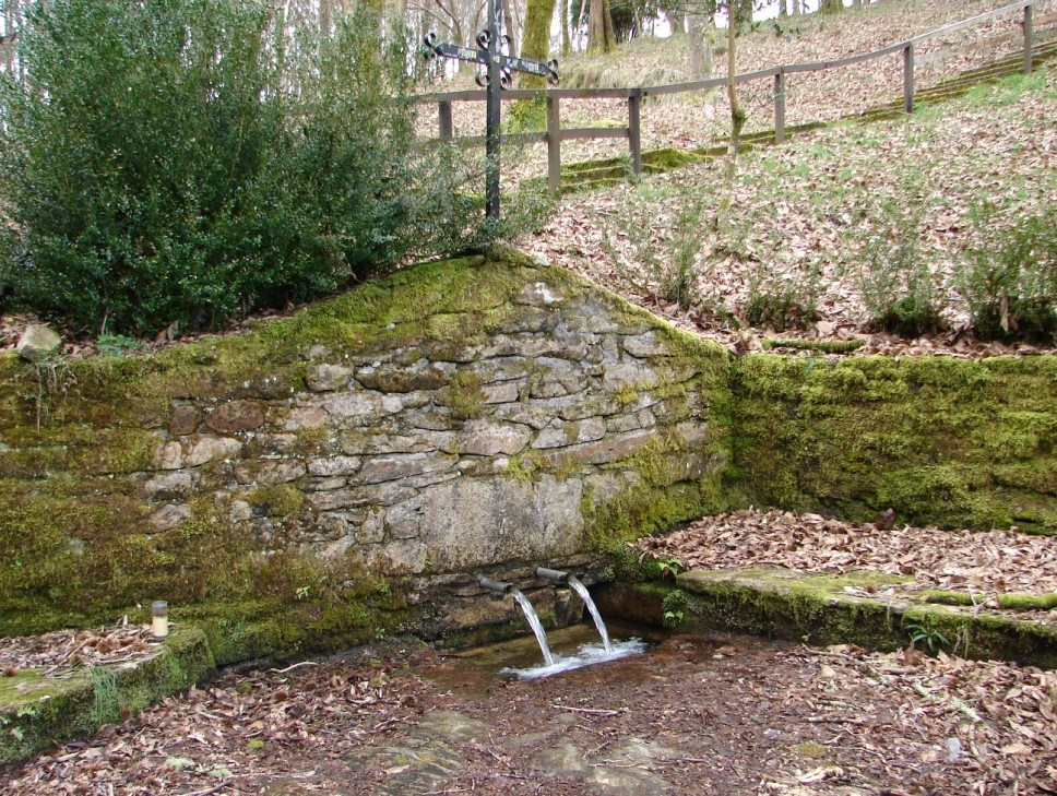
It is located on the western edge of the Serra de Santiago where, near the chapel of Saint Roch (San Roque), the Mira river rises, one of the headwaters of the río do Porto or Grande.
Shortly before 1867 it incorporated into its territory the small annex parish of Follente which, nevertheless, continued to have religious activity until the 1960s. Both belonged to the domain of the Count of Altamira and were also under the royal jurisdiction of Soneira.
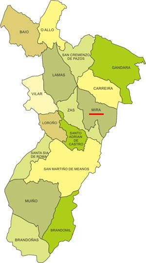
It borders to the N and NE with Carreira; to the S, SW and W with Zas; and to the E with Santa Sabiña (Santa Comba). At a single point, four parishes meet: Carreira, Mira, Zas and Lamas.
Three distinct relief zones can be identified: the high, plateau-like ridge line of the Pico de Meda range, the steep slopes to the W of this hill, and the flat lands of the Soneira valley to the W.
There are seven population centres, with a total of 210 inhabitants (94 fewer than in 2001).
Mira is a very ancient place name, derived from the pre-Roman word *miro or *mir ‘watercourse, river’; Gontalde, Rosende and Follente would refer to the names of former, probably medieval, landowners: Guntaldo, Ronosindi or Rodosindi and Fulgentii; Teixidón to a place with yew trees, and Ventoselo and A Costa have an obvious meaning (“windy place” and “the slope”).
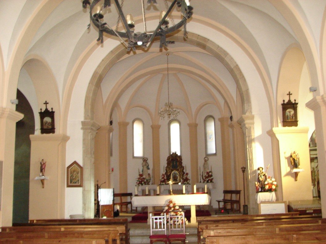
Between 1730 and 1736 the presence of two stonemasons from Moraña (Pontevedra) is documented in the construction of the church nave: Silvestre and Afonso Diz. The façade dates from the late 18th century. Between 1949 and 1960 – and later between 1972 and 1980 – many architectural alterations were carried out.
After these works, the main altarpiece was moved to the south side chapel; it is the work of Francisco Castro Agudín, an artist from Sandrexo, in 1790. Among its images the following stand out: the Annunciation, the Immaculate Conception, Saint Barbara, Saint Roch and Saint Eutelo.
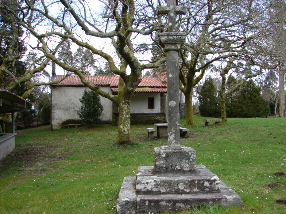
In a landscaped area in front of the church façade stands a beautiful stone cross (cruceiro), probably Baroque from the 18th century.
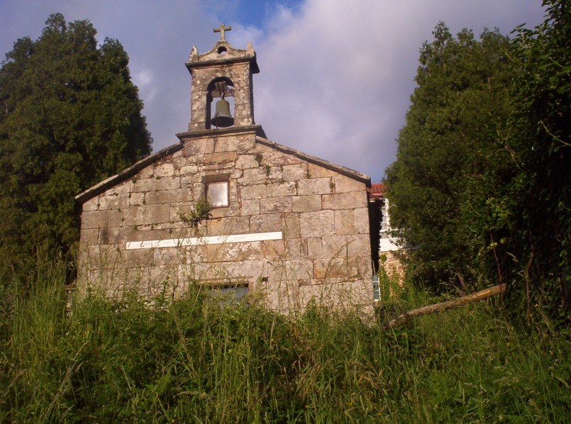
The old church of Follente is small and has barely any architectural interest. It is not in use today. The building that is still in use is the chapel of San Roque do Monte (San Roque do Monte Coroado, according to historical documents), which hosts a large picnic-style festivity on the last Saturday in August. The repeated warnings issued by the Archbishopric about the culinary excesses committed in past centuries during the feasts organised by its confraternity are worth noting.
It is worth remembering that in the village of Gontalde there was a fair called Feira Nova which did not yet exist in 1753, but which was already being considered for suppression in 1798; this means that it was created in the intervening period. It was finally moved to Zas in 1904.
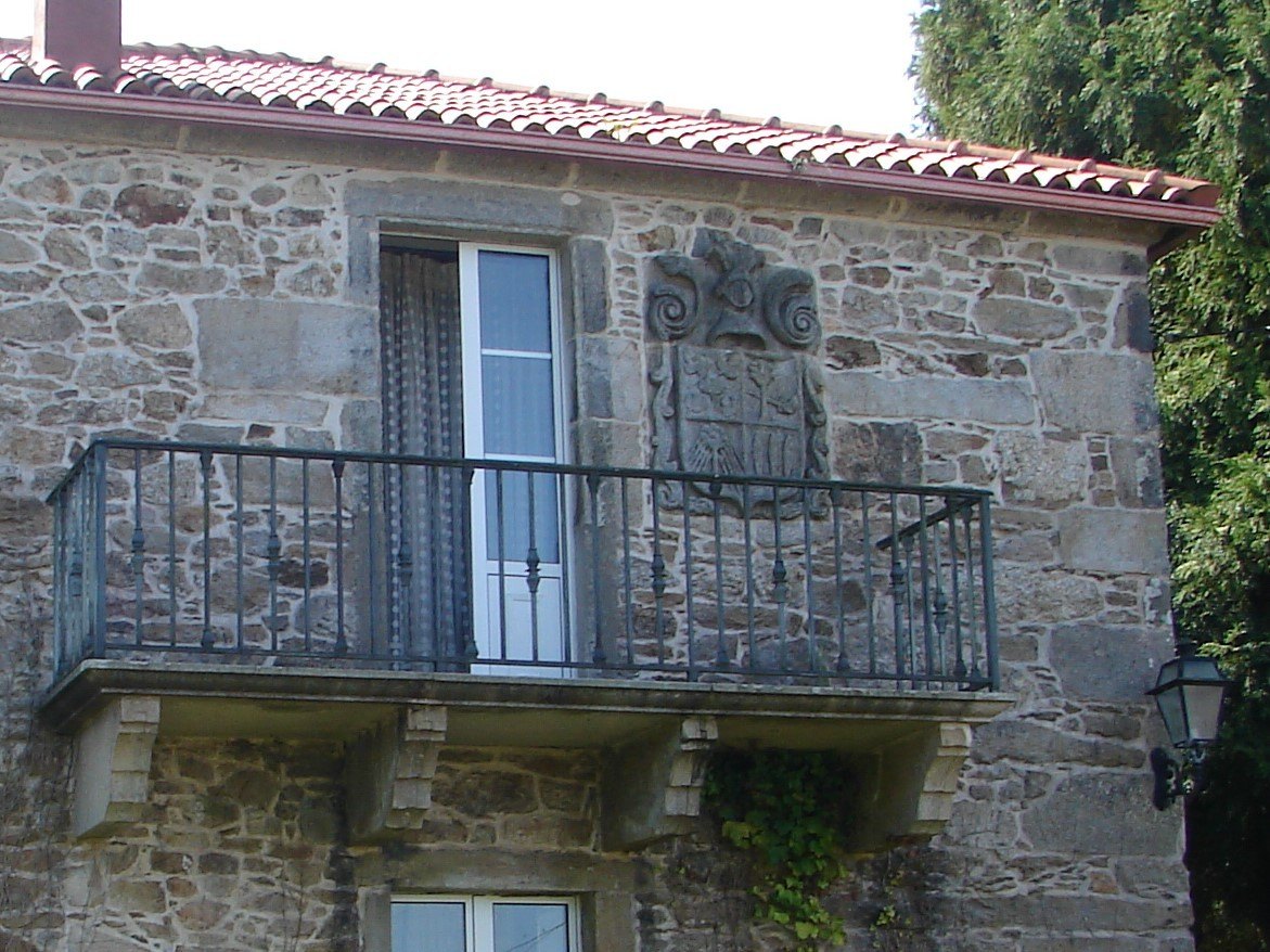
In Follente there was an old manor house (pazo), now converted into a country house, with a noble coat of arms on the north wall, representing the noble families of the Figueroa, the Leis and the Caamaño.
Perhaps the most important historical event to have taken place in the parish is that this manor house was where the famous cartographer and mathematician Domingo Fontán stayed in December 1823, since Follente was one of the first places chosen for the preparation of his great map “Carta Geométrica del Reino de Galicia”, completed in 1834 and published in Paris in 1845.
It would be desirable for the authorities to provide some physical commemoration of this achievement by one of the few people buried in the Pantheon of Distinguished Galicians in Santiago de Compostela.