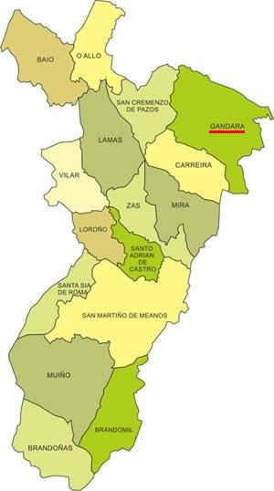
Gándara is located in the north-western corner of the concello of Zas. It borders parishes belonging to three different municipalities: Nantón (to the N and NE, in Cabana de Bergantiños); Cuns (to the E, in Coristanco) and Santa Sabiña (to the SE, in Santa Comba). Within its own concello it borders the parishes of Carreira and San Cremenzo.
It is the third largest parish in Zas by area, only behind Muíño and San Martiño. Under the Ancien Regime it belonged to the seigneurial jurisdiction of Vimianzo and was also under the royal jurisdiction of Soneira.
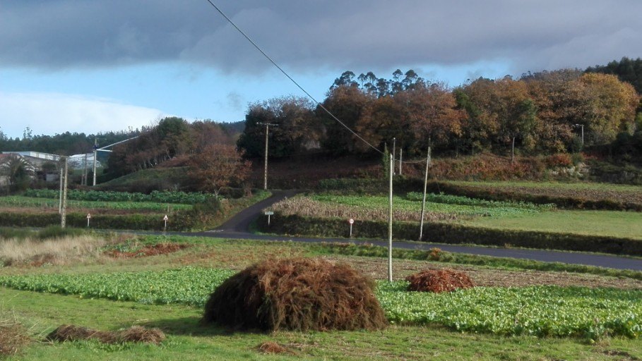
Three clearly differentiated relief areas can be identified:
- The eastern sector, lying to the east of the Pico de Meda massif, formed by a relatively enclosed triangular valley where the settlements of Vilar Ramilo, Parga and Budián are located.
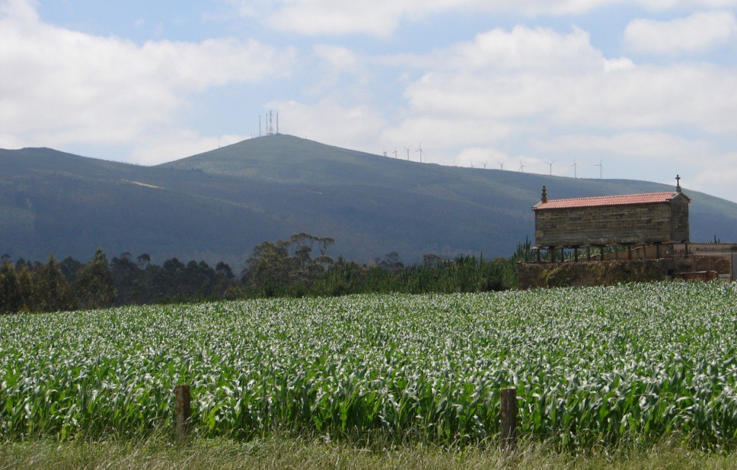
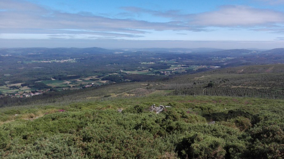
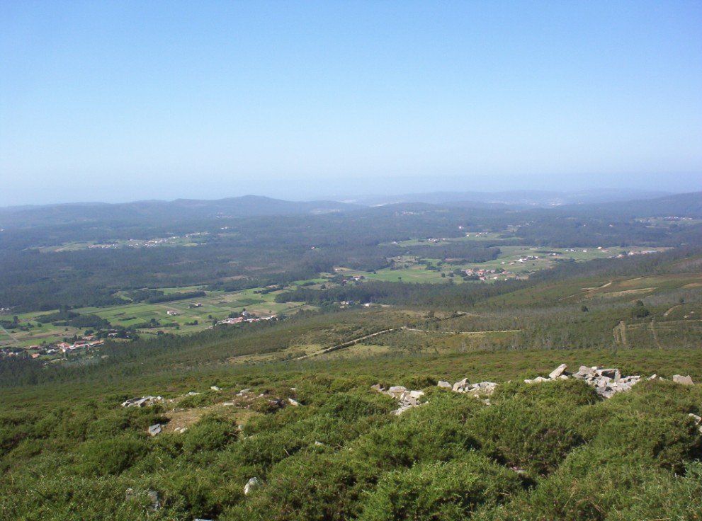
- A central mountain alignment running from S to N that divides the parish into two almost equal parts. At the summit of Pico de Meda – on the boundary between Gándara and Carreira – we find the highest elevations in the whole area (566 m).
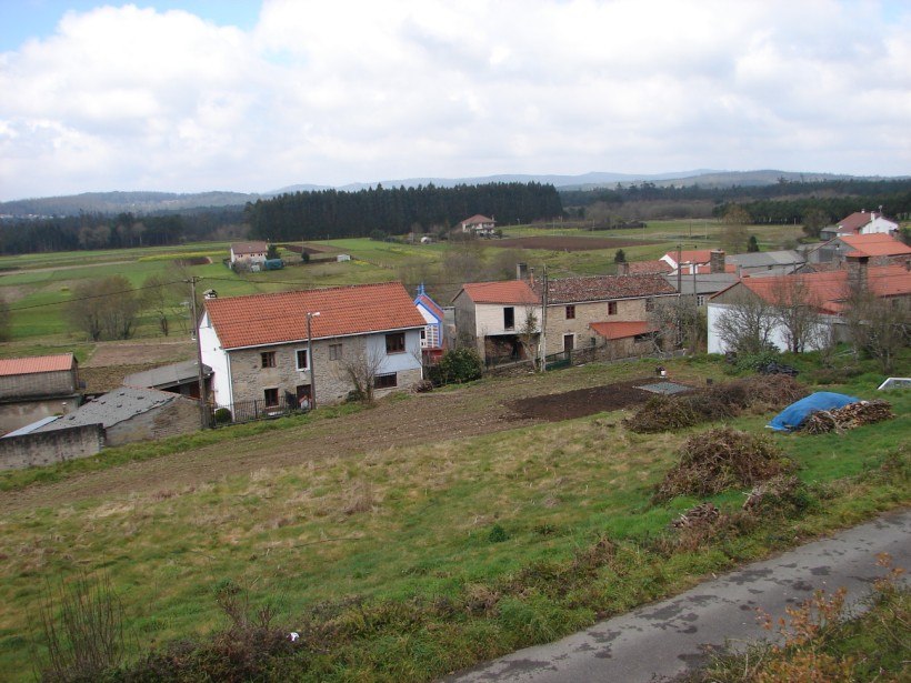
- Lastly, the western sector, predominantly flat, which forms part of the so-called Val de Soneira. The remaining population centres are located in this western area.
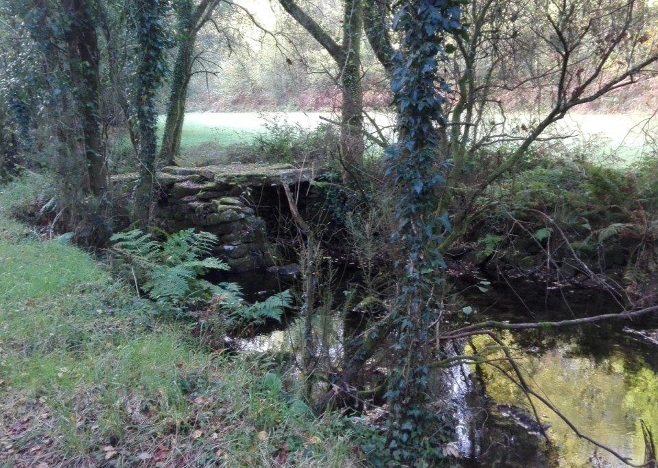
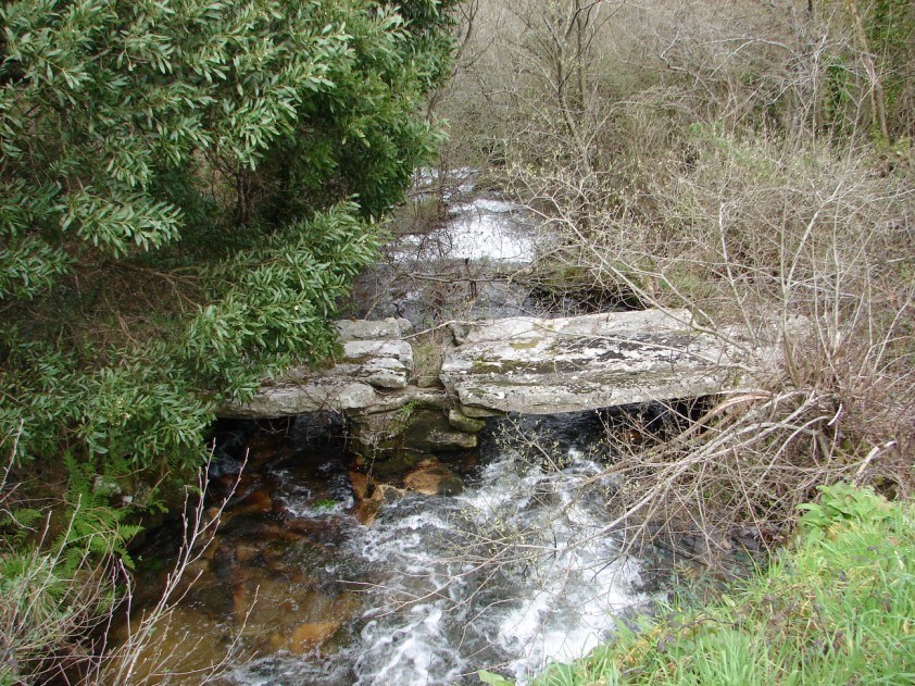
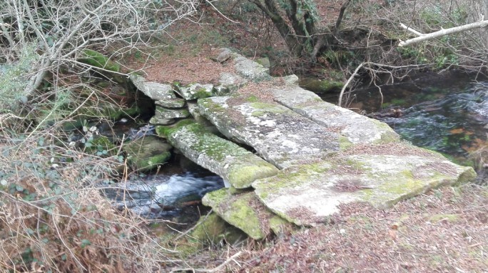
Its main watercourse is the río do Sisto – which rises in the parish of Santa Sabiña in the Xallas area and is the main tributary that forms the río do Porto or Grande. Of this river, the Rabiñoso stretch is especially noteworthy, with a beautiful waterfall and several mills, and, nearby, the views from Pico de Meda. These are truly two places (O Rabiñoso and Pico de Meda) that you simply cannot miss if you visit the parish.
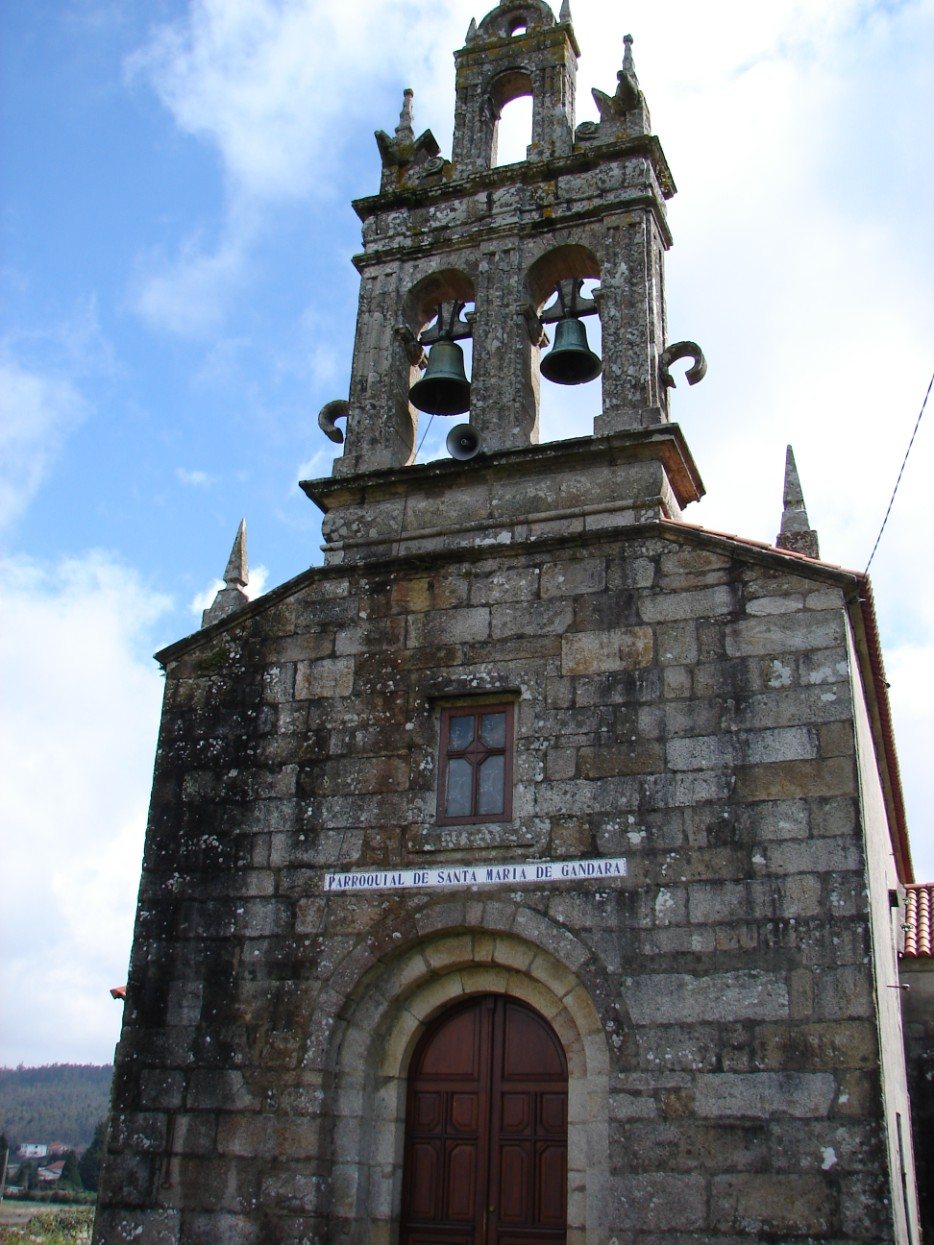
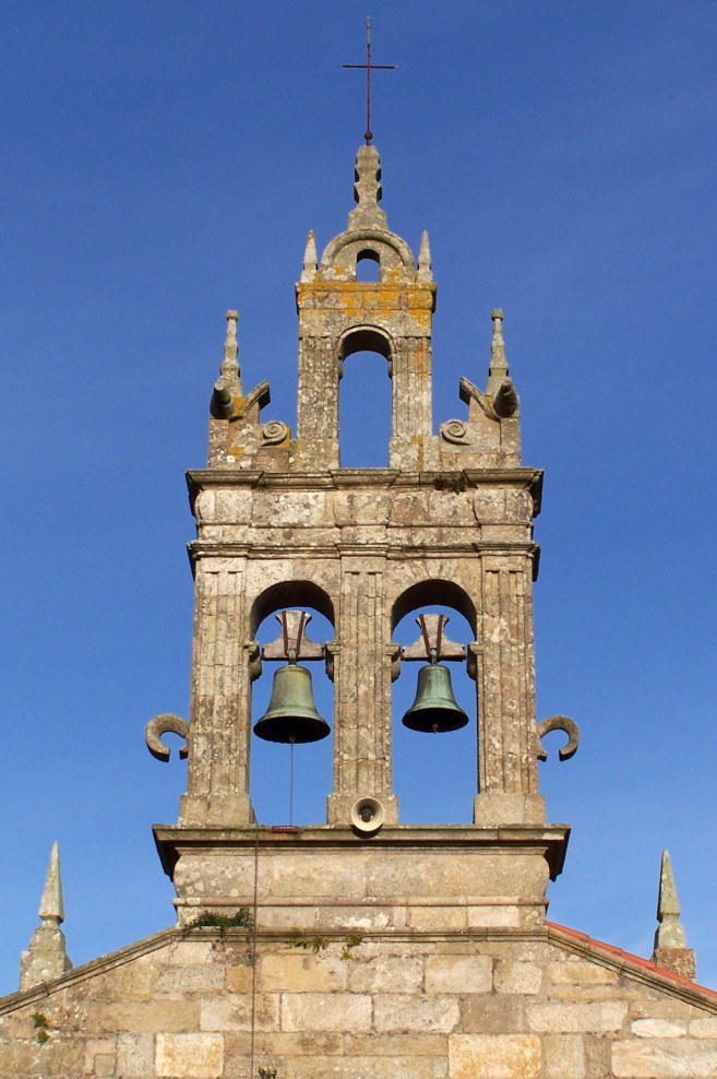
The church has a structural base from the Romanesque period, of which only the main doorway remains, finished with a beautiful double arch (one of the few examples of 12th-century Romanesque that can be seen in Zas). It underwent alterations between 1930 and 1935 and between 1961 and 1967 that somewhat changed its appearance. In 1860 a lightning strike brought down the façade and the belfry, which was rebuilt with excellent taste by José Touceda in 1862.
The north side chapel, founded between 1678 and 1709, was dedicated to Saint Margaret (Santa Margarida). On its exterior there is a noble coat of arms of the founding hidalgo family. The south side chapel was dedicated to the Holy Name of Jesus.
There are two interesting stone crosses (cruceiros): the processional one, standing a few hundred metres from the façade and whose base still bears the date 1720, and another in O Sisto, showing some unusual signs carved on its shaft.
It has an important archaeological heritage: around 14 burial mounds (mámoas); two beautiful and relatively well-preserved Iron Age hillforts (castros), Vilaestévez and Bico da Cruz ou das Cortellas; and three places where Roman remains have been found, the most notable being A Agra da Cruz, not far from the church, where the finds suggest the existence of a Roman villa in the 2nd or 3rd century AD.
The foundations of what would have been some medieval towers – the Torres do Boén ou de Surribado – also remain, which according to some documents may have belonged to Count Diego Pérez Sarmiento.
Finally, it is worth highlighting some symbols, not yet well studied, that can be seen on the stones forming the floor inside the granary (cabazo or hórreo) of Trelles, also known as the priest’s granary.
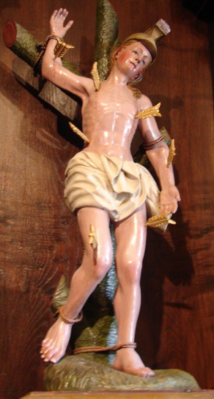
Its main feasts are the last Sunday in May (As Dores, Our Lady of Sorrows) and 15 August (A Asunción, the Assumption). Other, smaller feasts are Saint Anthony (the Monday after As Dores); Saint Sebastian (20 January); Saint Isidore (15 May); Saint Roch (16 August) and the Rosary (last Sunday in September).